
Geomatics office
Your partner in Geomatics
Precision, expertise, vision — your territory, our commitment.
GEOREVO in figures
About
Land surveyors and geomatics office
GEOREVO is a land surveying and geomatics office specialising in the capture and analysis of geospatial data. We deliver Scan to BIM services, turning point clouds from 3D laser surveys into reliable, workable BIM models.
Our work covers BIM modelling, the coordination of digital building models, BIM management and the design of complete digital workflows — from the field through to using the data. Our team develops SIG solutions, geospatial data processing and online 3D visualisation platforms.
We work with a state-of-the-art fleet — FARO laser scanners, RTK drones carrying LiDAR sensors, total stations and GNSS systems — and we build our own platforms: BIMREVO for the digital building model and MAPREVO for 3D GIS. Your data therefore stays available online, in a browser, with nothing to install.

Services
What we do
Complete geomatics services — from field measurement to the digital model and spatial analysis solutions.
Land surveying
Land surveying
Tailored support for all your surveys, measurements and setting-out work.
Learn more →3D laser scanning
3D laser scanning
Detailed, faithful digital 3D models of your buildings, built on our expertise.
Learn more →BIM modelling
BIM modelling
Your BIM modelling partner for smooth design and efficient management of your construction projects.
Learn more →Aerial photogrammetry
Aerial photogrammetry
We fly drones fitted with LiDAR sensors and high-resolution cameras to capture point clouds and aerial imagery of high accuracy.
Learn more →Mobile mapping
Mobile mapping
Georeferenced street-level imagery produced by mass data capture from a vehicle-mounted camera. Ideal for surveys along routes.
Learn more →Geographic information system
Geographic information system
We support you with deep expertise in the most capable GIS tools, matched to your geospatial needs.
Learn more →Geospatial data processing
Geospatial data processing
Drawing on our experience with ETL tools such as FME, we build bespoke ETL scripts for your geoinformatics requirements.
Learn more →3D visualisation platform
3D visualisation platform
Take your 3D projects anywhere — virtual tours, point clouds, orthophotos — through our custom web viewers.
Learn more →Case studies
Recent projects
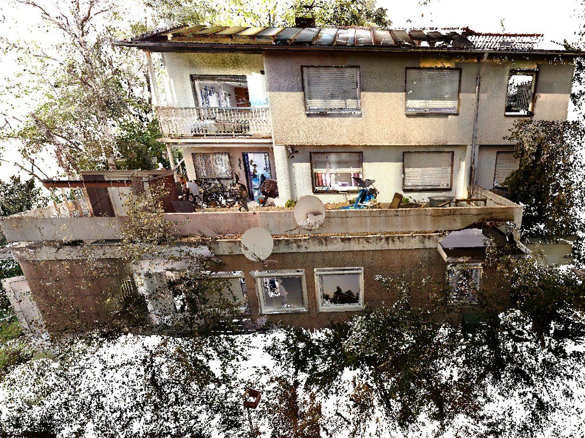
3D point cloud
3D laser scanning — detached house

New release of BIMREVO & MAPREVO
Next-generation 3D platforms
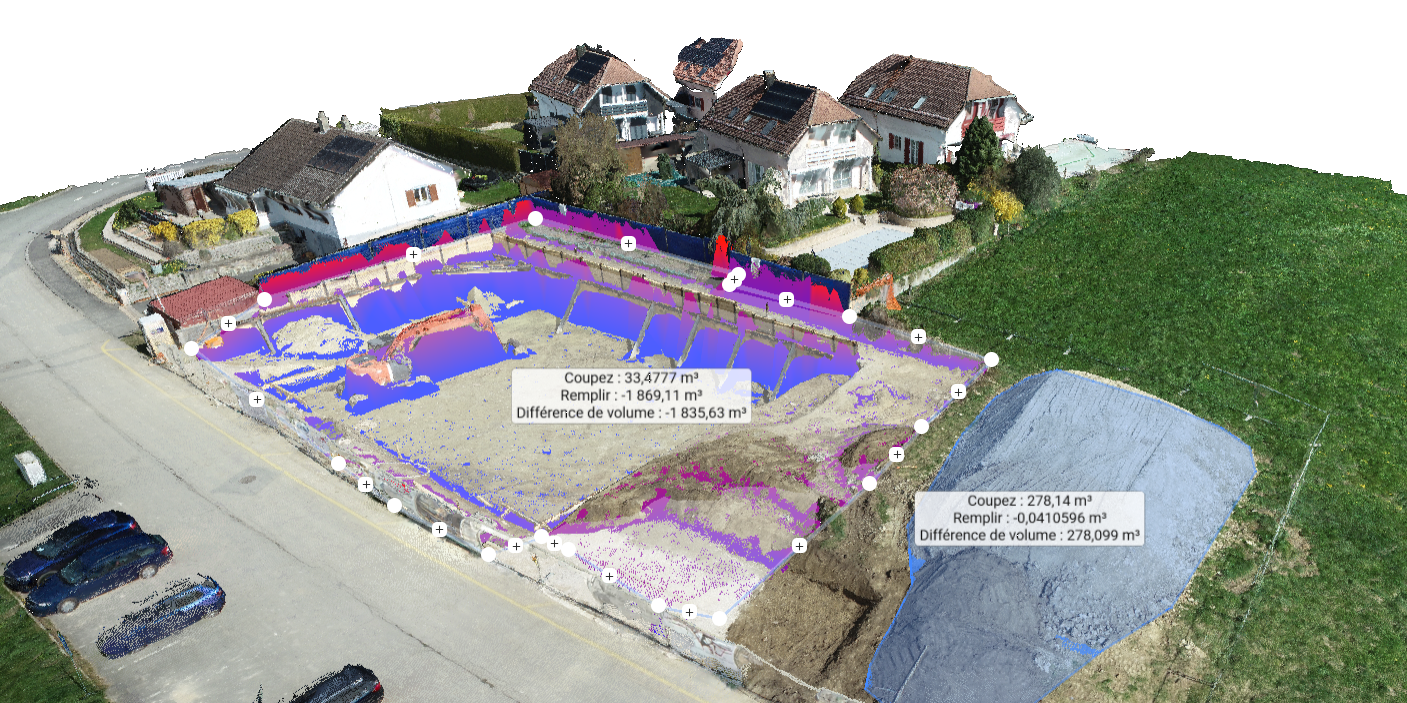
Earthworks control by drone
Volume calculation — centimetre accuracy

BIM modelling of a complex
Multi-building IFC model

Teaching students
Passing on BIM · 3D scanning · photogrammetry

Site progress monitoring
Orthophotos & periodic progress surveys
Our approach
An innovative approach to geomatics, for solutions built around you
Specialist expertise in analysing, visualising and making strategic use of geospatial data. Whether you need precise 3D capture, advanced analysis or positioning solutions, we are here to help.
News
What's happening at GEOREVO
New releases of BIMREVO and MAPREVO
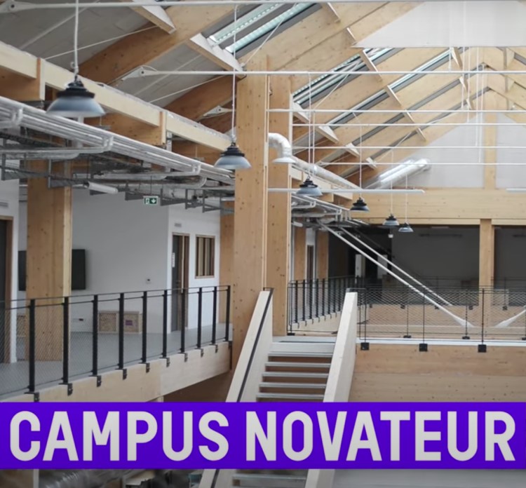
L'industreet – training in BIM, 3D scanning & drone photogrammetry

GEOROMANDIE 2025 !

VGC 2025 – UNIL (Virtual Geosciences Conference)
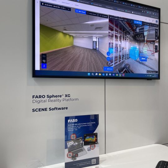
GEOREVO at INTERGEO Expo & Conference
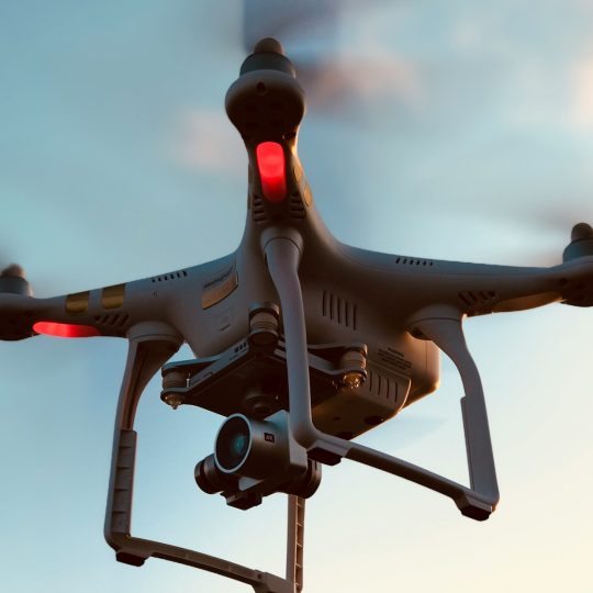
A2 drone pilot certification
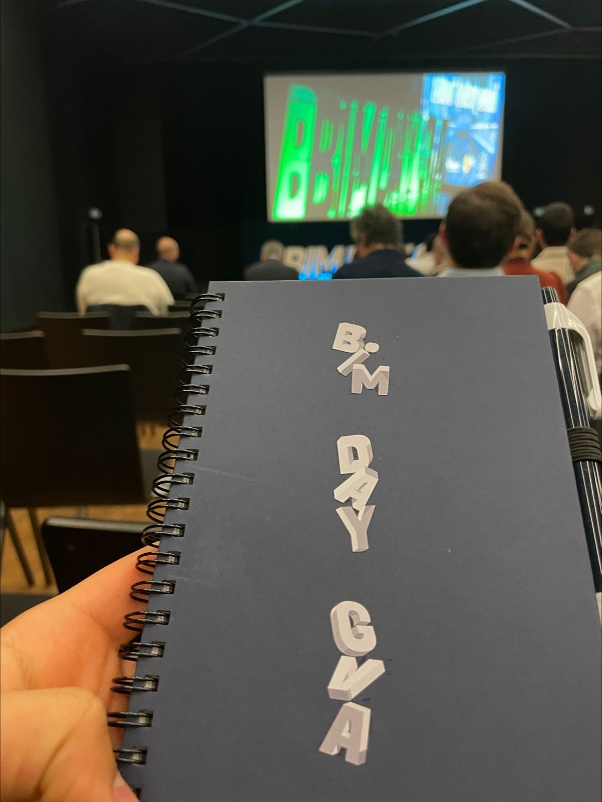
GEOREVO at BIM DAY GVA
Our ecosystem
Three brands, one continuous chain
From the field survey to data published online: our platforms carry the office's work through.
TRUSTED BY
They trust us
Public authorities and private companies entrust us with their geomatics projects.
Contact
Enquiry
Have a question, or want a professional opinion? Fill in the form and we'll get back to you.