
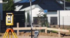
 Total station
Theodolite
2 units- Trimble S5
- Leica TS15
Home › Technology and equipment
Trimble and Leica theodolites, FARO laser scanner, RTK drones, GNSS systems and mapping mapping: a state-of-the-art fleet for millimetre-accurate surveys.
Equipment
An earthworks site, a listed facade and a utility network several kilometres long call for neither the same instrument nor the same accuracy. Our fleet covers every scale of capture — from the millimetre on a detail to the square kilometre flown in a morning.
The instrument is chosen before we go on site: accuracy required, area to cover, access, satellite reception, deadline. It is this fit to the real constraints of the site that determines the quality of the result, far more than any instrument's data sheet.
Total station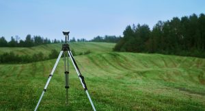 Satellite positioning
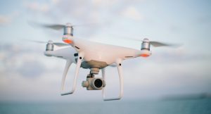 Photogrammetry & LiDAR
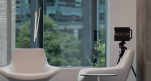 Immersive 360° capture
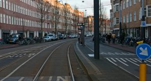 Mobile Mapping
Security & performance
Data hosted in Switzerland on protected infrastructure, keeping sensitive information confidential and secure.
Frequent backups of databases and mapping systems, so recovery is quick when needed.
Fast response times even on limited connections, through compression and caching.
Our engineering team is here to build the solution that fits your needs.
Get in touch →