
Our approach
Large areas, with the accuracy you need.
Our photogrammetry expertise turns your aerial imagery into accurate 3D data, giving a clear, detailed picture of your land, buildings and infrastructure — from capture through to using the data.
Services
What we do
Digital terrain and surface models
Aerial or facade orthophotos
Accurate volume calculations
Vector drawing
Detailed visual inspections
Construction progress monitoring
Building surveys
Secure sharing
Method
How a flight runs
Flight planning
We set the area, flight height and image overlap according to the accuracy required. The zone is checked against Swiss flight rules, and any permits are obtained before we come on site.
RTK georeferencing
Our drones correct their position in real time: every shot is tied directly to the Swiss LV95 system, with no network of ground control points. We survey a few check points by GNSS to verify and document the accuracy achieved, and we go back to a full control network when the site calls for it — poor satellite reception, or a particular accuracy requirement.
Flight and capture
The drone flies the area to the agreed plan and captures the imagery or the LiDAR cloud. A large site is covered in a morning where a ground survey would take several days.
Processing and delivery
The images are brought together by photogrammetric processing, and the cloud is cleaned and classified. You receive the orthophoto, the terrain and surface models, and the calculated volumes where the project calls for them.
Our fleet
Three drones, three uses
The aircraft is chosen for the area, the sensor needed and the constraints on site.
Matrice 300 RTK
Large areasThe workhorse for long missions and heavy sensors, LiDAR included. This is the aircraft for extensive sites and infrastructure surveys.
- LiDAR on board
- Long endurance
- Infrastructure
Phantom 4 RTK
Precision mappingBuilt for photogrammetric survey, with RTK correction integrated. The default choice for orthophotos and volume work.
- Orthophotos
- Volume calculations
- RTK correction
Mavic 3 Enterprise RTK
Quick jobsCompact and quick to deploy — for small areas, roof inspections and repeat monitoring flights.
- Inspections
- Periodic monitoring
- Confined areas
Case studies
A few recent projects
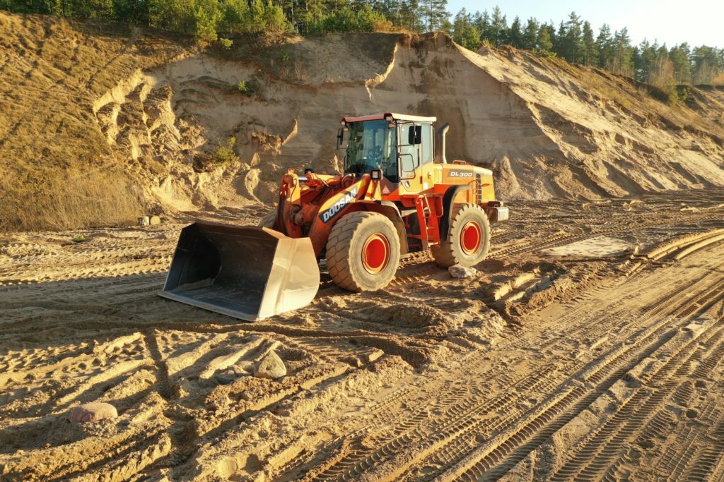
Volume calculation
Earthworks — Ballaigues
Site orthophoto
Cut and fill calculation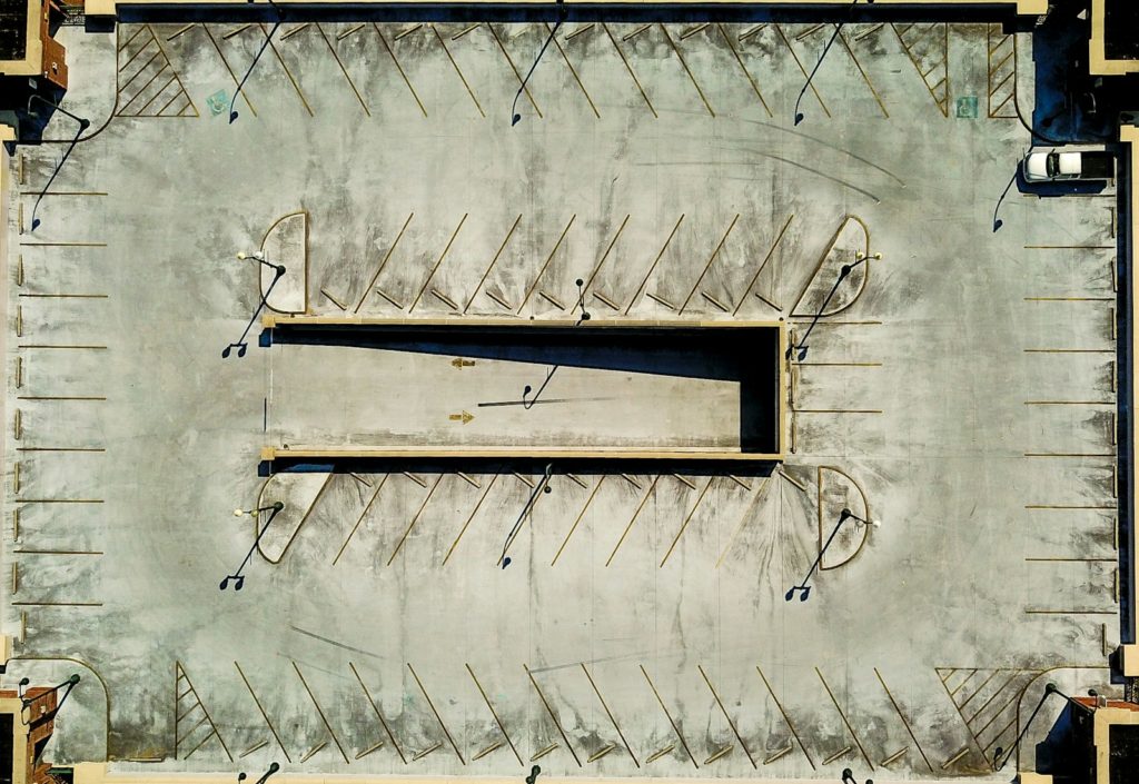
Site progress monitoring
VeveyFrequently asked
What we get asked most often
What accuracy can you expect from a drone survey?
Do you need a permit to fly over a site?
Photogrammetry or LiDAR — what is the difference?
What do you get at the end?
How do you calculate earthwork volumes?
Is one flight enough, or do you need to come back?
Going further
Related services
Our disciplines feed into one another: the survey feeds the model, which feeds the published output.
Surveys, measurement and setting out
Land surveying
The RTK that underpin the accuracy of the flight.
Find out more →Web map portals and GIS applications
Geographic information system
To bring orthophotos and terrain models into your GIS layers.
Find out more →Georeferenced point clouds
3D laser scanning
On the ground and indoors, where the drone cannot go.
Find out more →Enquiry
Have a question, or want a professional opinion? Get in touch and we'll come back to you quickly.
Get in touch →