
Home › Case studies
Case studies: surveying, 3D scanning and BIM projects
Each case study shows a real project: the client's need, the method and equipment we used, the accuracy achieved and what was delivered.

3D laser scan of a villa
Full 3D laser scan of a villa, delivered as a georeferenced point cloud, ready for modelling or compliance checks.
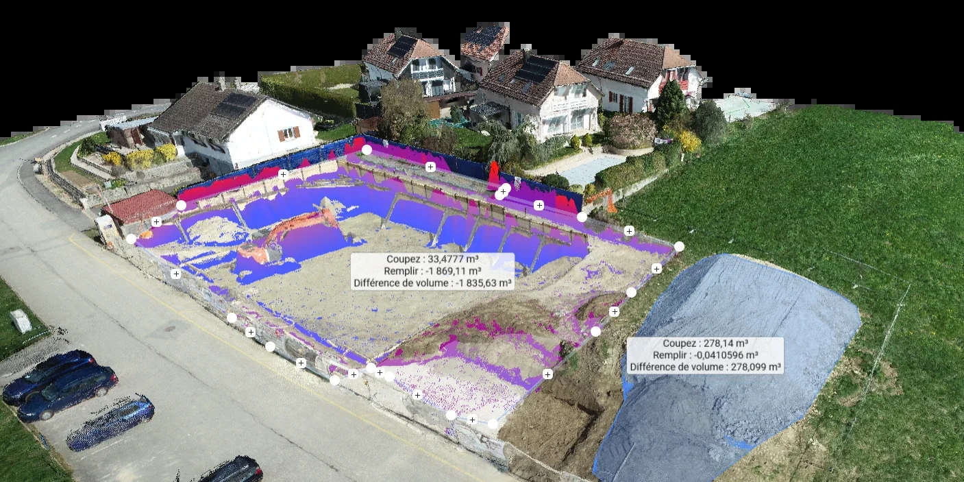
Earthworks control by drone
Monitoring of an earthworks site by drone photogrammetry, with cut and fill volumes calculated to centimetre accuracy.
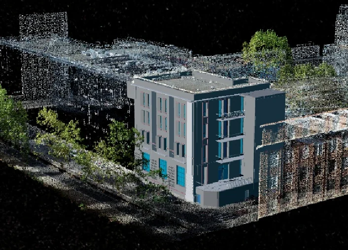
BIM modelling of a building complex
BIM modelling of a multi-building complex from 3D laser scans, delivered in IFC format for integration into design and coordination tools.

Site monitoring by orthophoto
Periodic site monitoring through aerial imagery, producing orthophotos that track construction progress over time.

Scan-to-BIM training at L'Industreet
Intensive training for construction trainees covering the full Scan-to-BIM chain, from field survey to a usable model.

Developing BIMREVO and MAPREVO
Ongoing development of our online visualisation platforms: BIMREVO for the digital model, MAPREVO for the 3D GIS.
Frequently asked questions
About our projects
What kinds of projects does GEOREVO carry out?
What do you deliver after a building survey?
How accurate is a 3D laser scan?
Let's talk about your project
Our engineering team is here to build the solution that fits your needs.
Get in touch →